A Yellow Level 4 warning for disruptive rain is in force over parts of South Africa's Western Cape and Northern Cape, the South African Weather Service said on Sunday, 13 September. The warning began at 6 p.m. on Sunday and is scheduled to remain valid until 11:59 p.m. on Monday, 14 September 2026.
The alert is a forecast of hazardous conditions, not confirmation that flooding, road closures or service failures have already happened. SAWS issues impact-based warnings to help communities and authorities prepare for what weather may cause. Actual conditions can vary sharply within a warned area, especially when showers and thunderstorms develop unevenly.
Where and when the warning applies
The Level 4 warning covers Eastern Namakwa in the Northern Cape and the Central Karoo in the Western Cape. SAnews, relaying the weather service's statement, reported expected accumulations of 25 to 50 millimetres, with totals of 60 to 80 millimetres possible in some districts through Monday. The statement did not identify every locality expected to receive the higher totals.
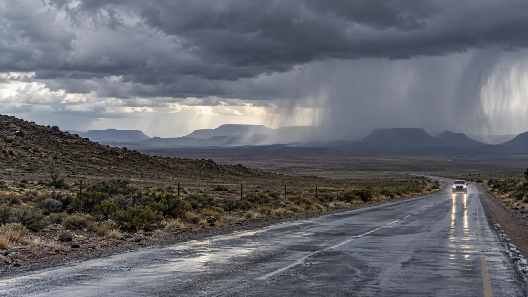
SAWS attributed the unsettled weather to a cut-off low-pressure system affecting the two provinces. The system is expected to produce scattered to widespread showers and thundershowers. A cut-off low can move slowly and concentrate rain over particular places, which is why residents should rely on updated warnings rather than assume that one regional forecast will describe every town or road.
The timing matters for commuters, freight operators, schools and communities near low-lying routes. Rain continuing into Monday evening can affect travel at different points in the day, while runoff may rise after the heaviest rain has passed. People planning journeys through the Central Karoo or Eastern Namakwa should check official road and municipal notices close to departure.
Possible effects are not confirmed damage
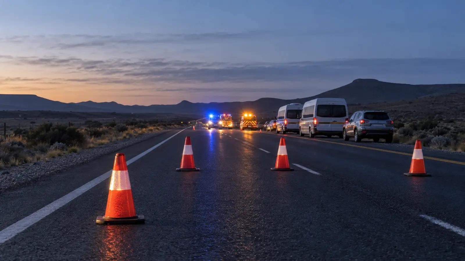
SAWS listed possible impacts including flooded roads, formal and informal settlements, low-lying areas and fast-flowing streams. It also warned that some bridges, roads and mountain passes could close, traffic could be disrupted and water, electricity or school services could be affected. Those are anticipated risks under the warning; the alert itself is not a verified damage report.
The distinction protects readers from two opposite errors. Treating every forecast impact as an accomplished fact exaggerates the situation, while ignoring a warning until damage is visible leaves less time to avoid dangerous routes or secure vulnerable property. The useful response is proportionate preparation based on local observations and official updates.
How to follow the risk safely
Drivers should not enter water covering a road when its depth or the condition beneath it is uncertain, and pedestrians should avoid fast-flowing streams. Residents should follow SAWS, provincial disaster-management services, municipalities and emergency authorities for changes to the warning, closures and instructions. Images or messages circulating on social media should be checked against their location and date before being shared.
Schools, transport operators and businesses should make decisions from notices issued for their own municipality or route. A province-wide reference in a headline does not mean that every district faces the same warning level. Likewise, an interruption in one town should not be presented as evidence that services have failed across the Western or Northern Cape.
The immediate test is what happens before the alert expires late Monday. Any confirmed flooding, evacuations, closures, injuries or service interruptions should come from named authorities and be reported separately from the forecast. Until then, the verified news is that a Level 4 warning is active and that the weather service is asking affected communities to prepare for potentially disruptive rain.