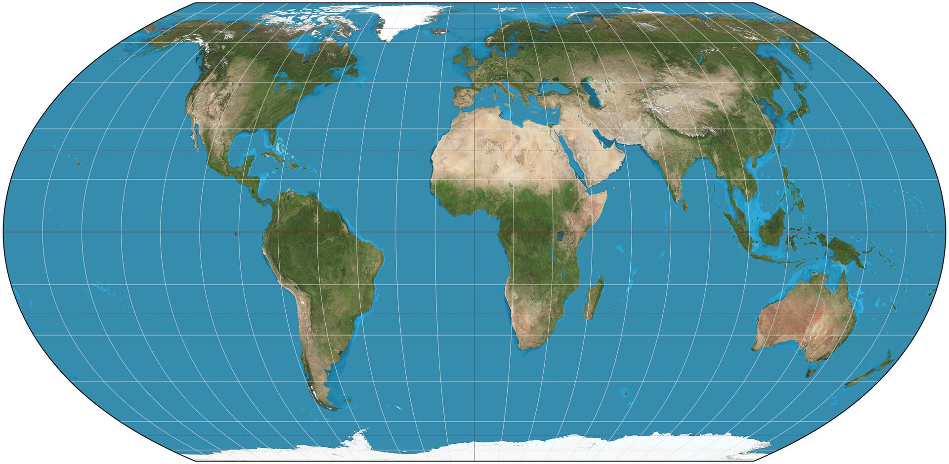
The United Nations General Assembly voted on Friday, 4 September, to encourage wider use of equal-area world maps, particularly the Equal Earth projection. The resolution was sponsored by Togo, supported by African Union members and adopted by 164 votes to one, with six abstentions. The Associated Press and Africanews published their reports on 5 September.
The resolution does not ban the Mercator projection and cannot compel schools, governments or technology companies to replace it. Its argument is narrower and important: when a map is meant to compare the size of continents, an equal-area projection gives a more accurate picture. Mercator was designed for navigation and enlarges land nearer the poles, making Greenland appear roughly comparable to Africa even though Africa is about 14 times larger.
The significance is educational as much as cartographic. Maps shape first impressions of distance, scale and power. Implementation will depend on publishers, teachers, public agencies and digital platforms choosing the right projection for the task. The vote changes the international recommendation; it does not by itself change the maps people see every day.